

- Show All
- GIS Data Manipulation Study
- MIS / GIS Application Program Development
- MIS / GIS Database Management
- Spatial Analysis for Multi-propose Using GIS
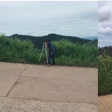
- Spatial Data Acquisition by GPS / Traditional Surveying
- Spatial Information Extraction from Satellite Image / Arial Photography
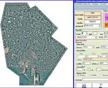
MIS / GIS for Tax Map, Property Inventory, and Income Collecting Management in Map Ta Phut Municipality (Rayong)
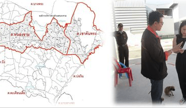
Update tax map data in Khao Khansong Sub-district and Nong Kham Sub-District
GIS/MIS for Tax Map and property inventory in Surasak Sub-district
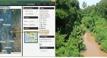
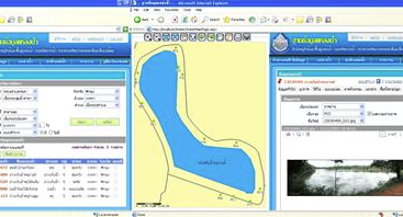
Enhancement of information systems for water and wetlands (Phase 1)
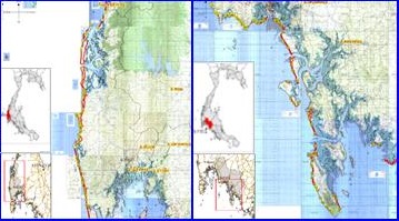
Study and Design of Structural System for Coastal Corrosion Protection from Tsunami (Coast of Thailand)
MIS / GIS for Tax Map and Property Inventory Management in Nong Kham and Khao Khansong Sub-districts (Chon Buri)
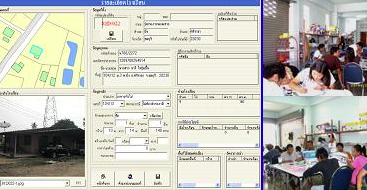
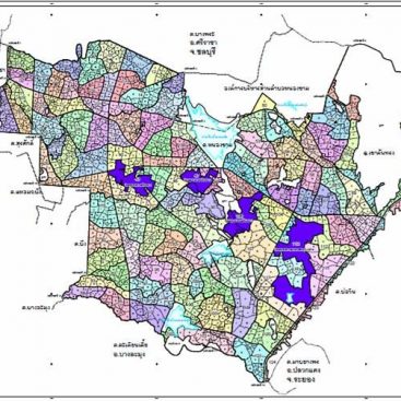
MIS / GIS for Tax Map and Property Inventory Management in Bueng and Bo Win Sub-districts (Chon Buri)
Application and Development of Wetlands / Water Resources Database
